Field Procedures
Water samples
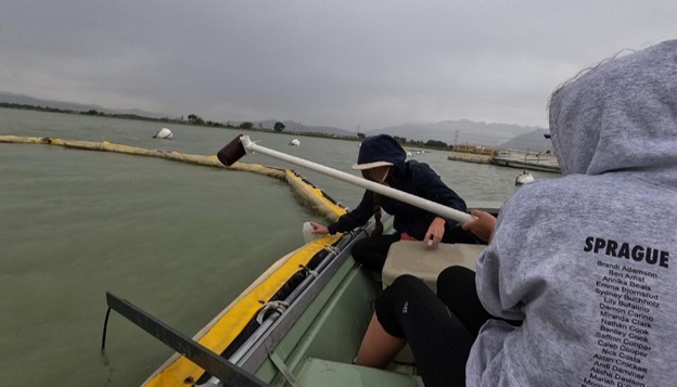
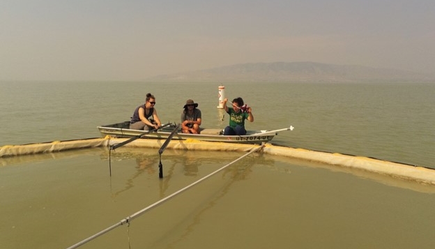
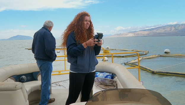
We took weekly samples from each corral in the lake from the South-West quadrants at elbow depth. Additionally, we took samples from the lake - not inside of the corrals - in order to compare the background lake water data we would collect with the results we got from water inside of the corrals. Field duplicates were taken to assure our test methods were accurate and performed correctly. If our duplicate data was off from the same section of lake that it was taken from, we knew that something had gone wrong and that our analysis would be less accurate.
Before collecting the dip samples from each location (whether inside or out of the corrals) new bottles were supplied, labeled, and triple rinsed with water from the area of the sample collection. The samples collected in each bottle were either tested or frozen within 24 hours of collection to lessen the risk of corrupted data..jpg)
.JPG)
.JPG)
Probe samples
Just as we collected water samples weekly, we collected probe samples twice a week using two different YSI ProDSS water quality sondes (hereafter referred to as probes). We performed two different probe data sample types.
The first was a vertical profile. Vertical profiles are samples that continuously collect data from the moment you press "start" until you press "stop" again. Each reading occurred about once every centimeter the probe was lowered into the water. In our vertical samples, we positioned the probe sensors about an inch above the surface of the lake, pressed start, gently lowered the probes to a predetermined depth, and then - upon reaching that depth - raised the probes until the sensor was again out of the water and stopped the data collection. We typically lowered each probe about three feet into the water, after which we raised them to the surface again and stopped the sample. We performed these vertical samples in the South-West quadrant of each corral and one lake vertical profile in the South-West section of the lake near the corrals, totaling seven vertical samples every week if corral and weather conditions permitted. If a corral was broken and we could not determine where the South-West quadrant was compared to the others, we chose an adjacent quadrant instead (South-East or North-West). If the corral as a whole was broken and taking a sample proved ineffective, we skipped the corral altogether. If it was windy and Utah Lake had large waves, we avoided sampling to ensure our safety.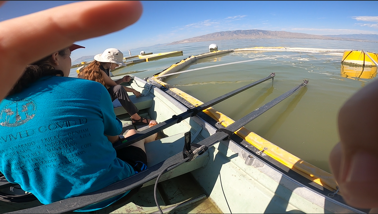
The second type of probe sample collected was a single depth sample. Single depth samples are those that only take one sample when they are in the water. They are not continuous. To collect them, we placed the two probes about one half of a meters (one and a half feet) into one of the four quadrants of one corral, pressed the "collect sample" button, and then removed the probes from the selected quadrant. We used this method to take samples from each of the four quadrants in each of the six corrals, totaling 24 samples.
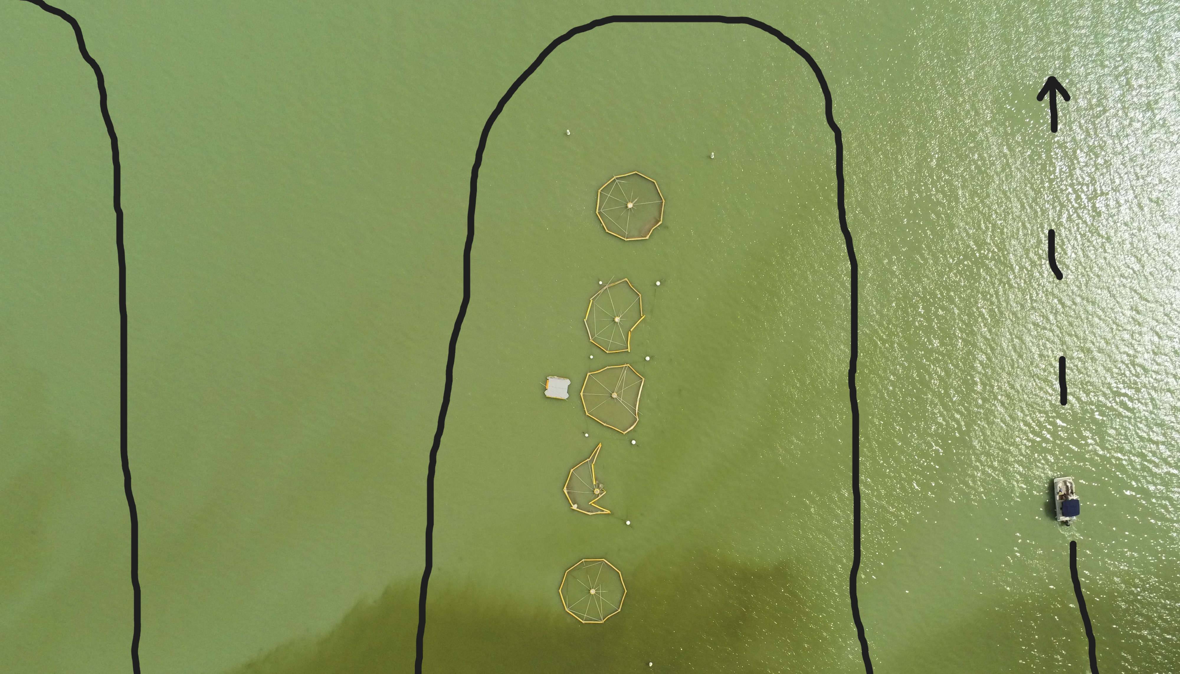
The final sample type is called surface tracks. Surface tracks were taken around the corrals and through the TSSD effluent. The process involved draping one probe over each side of the pontoon boat, lowering them into the water, and then driving the boat back and forth along the length of the six corrals, moving closer to the corrals after each turn. We connected a weight to the bottom of each probe in order to keep them in the water while the boat was moving at a speed of about two knots. Probes took samples every fifteen seconds.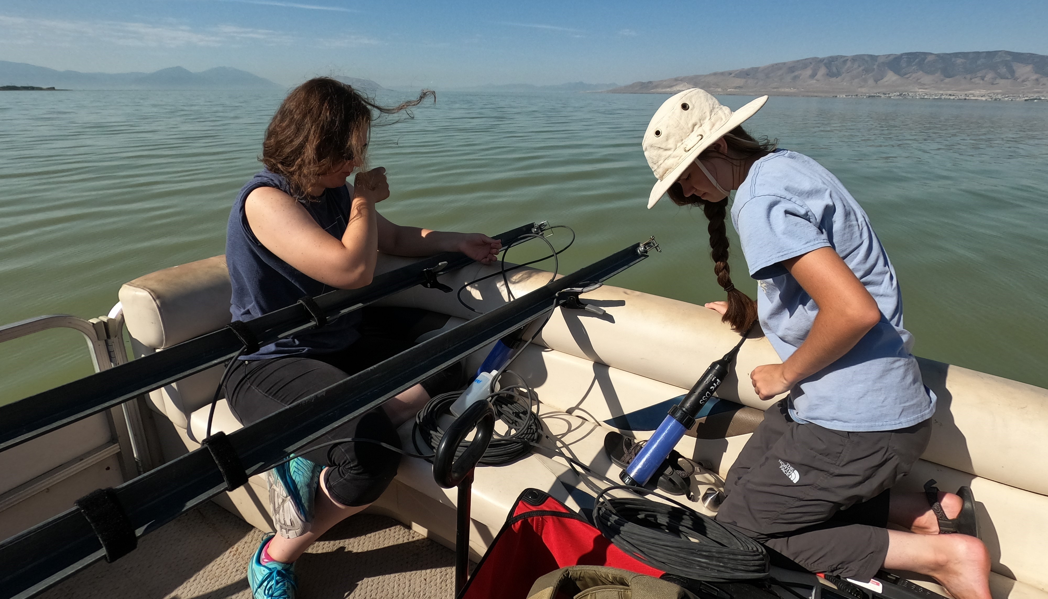
Aerial Photographs
Collecting water and probe samples gave us a lot of data and information to work with for our studies. Aerial photography gave us visual data, which was surprisingly useful. It improved our study by helping us find new patterns in the water and understand why lab tests we ran on the water gave us the results it did. Additionally, from the air we could better assess the structural integrity of the limnocorrals, determine when an algal bloom had occurred and which corrals were most affected by it, watch the Timpanogos Special Services District (TSSD) effluent enter the lake and mix with the water, and more.
With the drones in the air, we took pictures of each corral individually, the 5 main corrals lined up next to each other, Corral 1 (located closer to shore), and other details concerning the corrals. Individual corral photos were taken at a height of about 20 feet. The shot of 5 of the 6 corrals was taken at about 400 feet. Other photos varied in the height they were taken at depending upon desired detail and angle.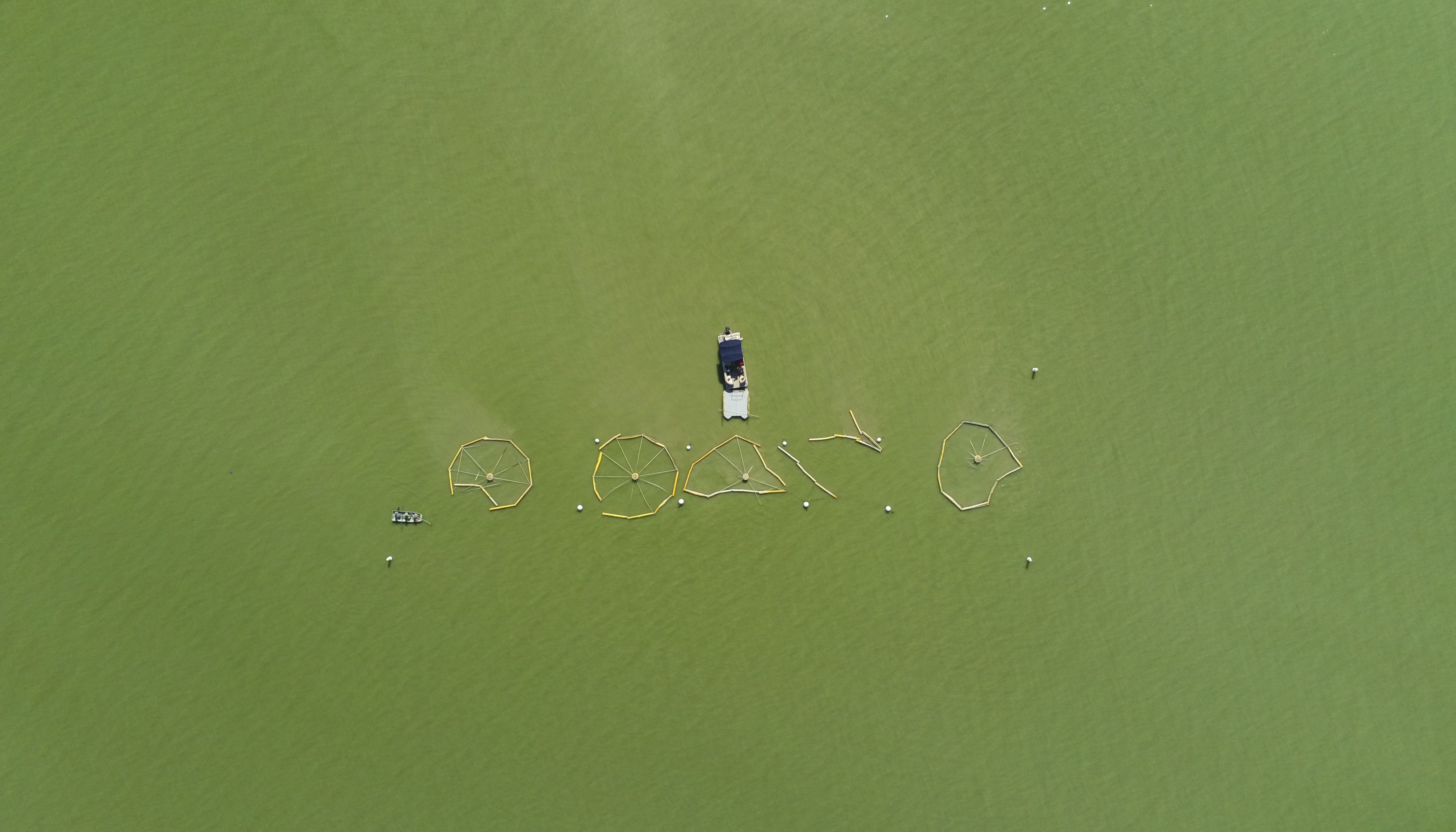
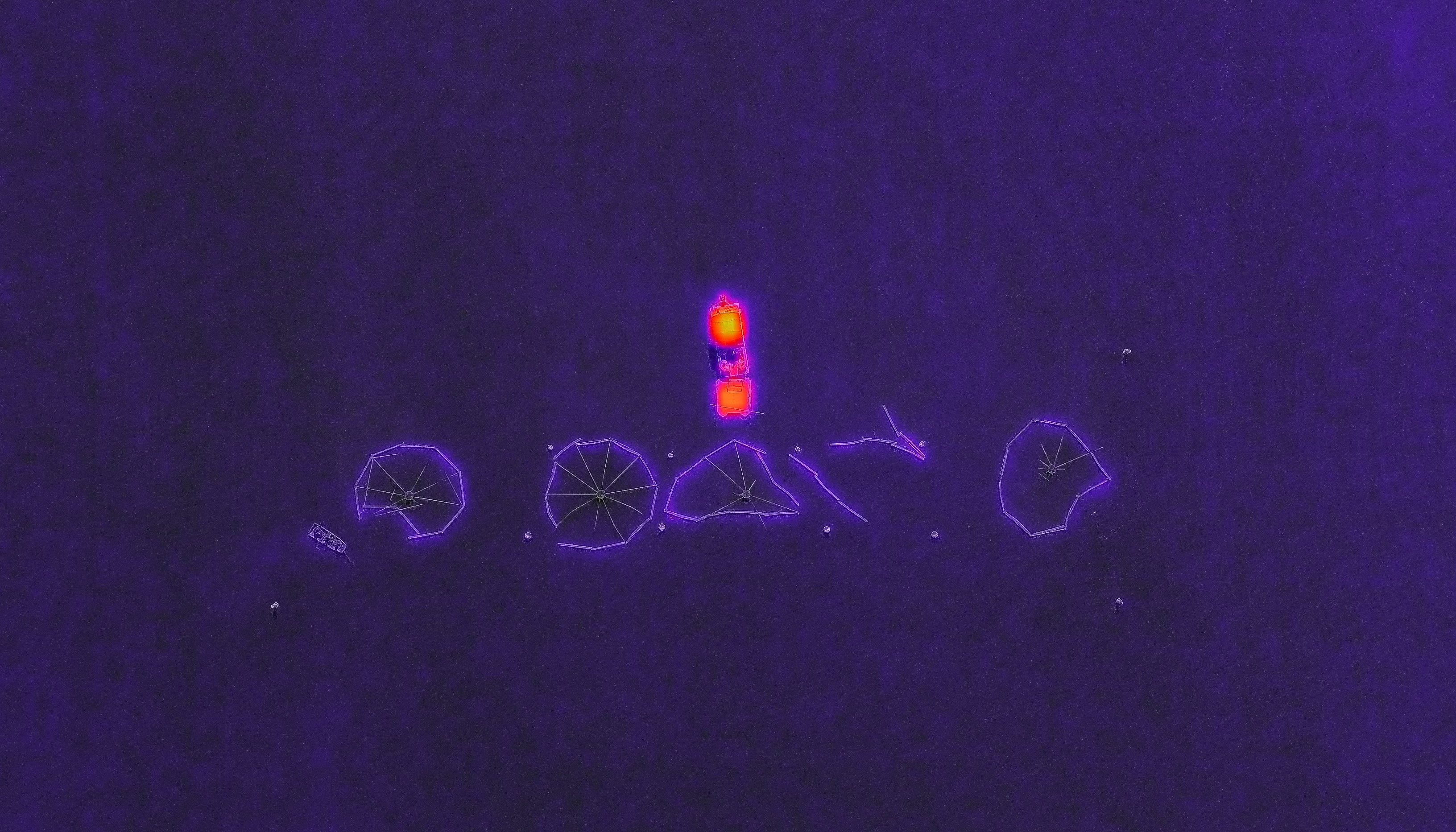
We took pictures of Utah Lake and our limnocorrals using a normal drone camera and a thermal imaging drone camera. Thermal Images gave us insight to the water temperature inside of the limnocorrals compared to the normal lake temperature. Thermal images proved that limnocorral water was typically warmer--if only slightly--than the rest of the lake.
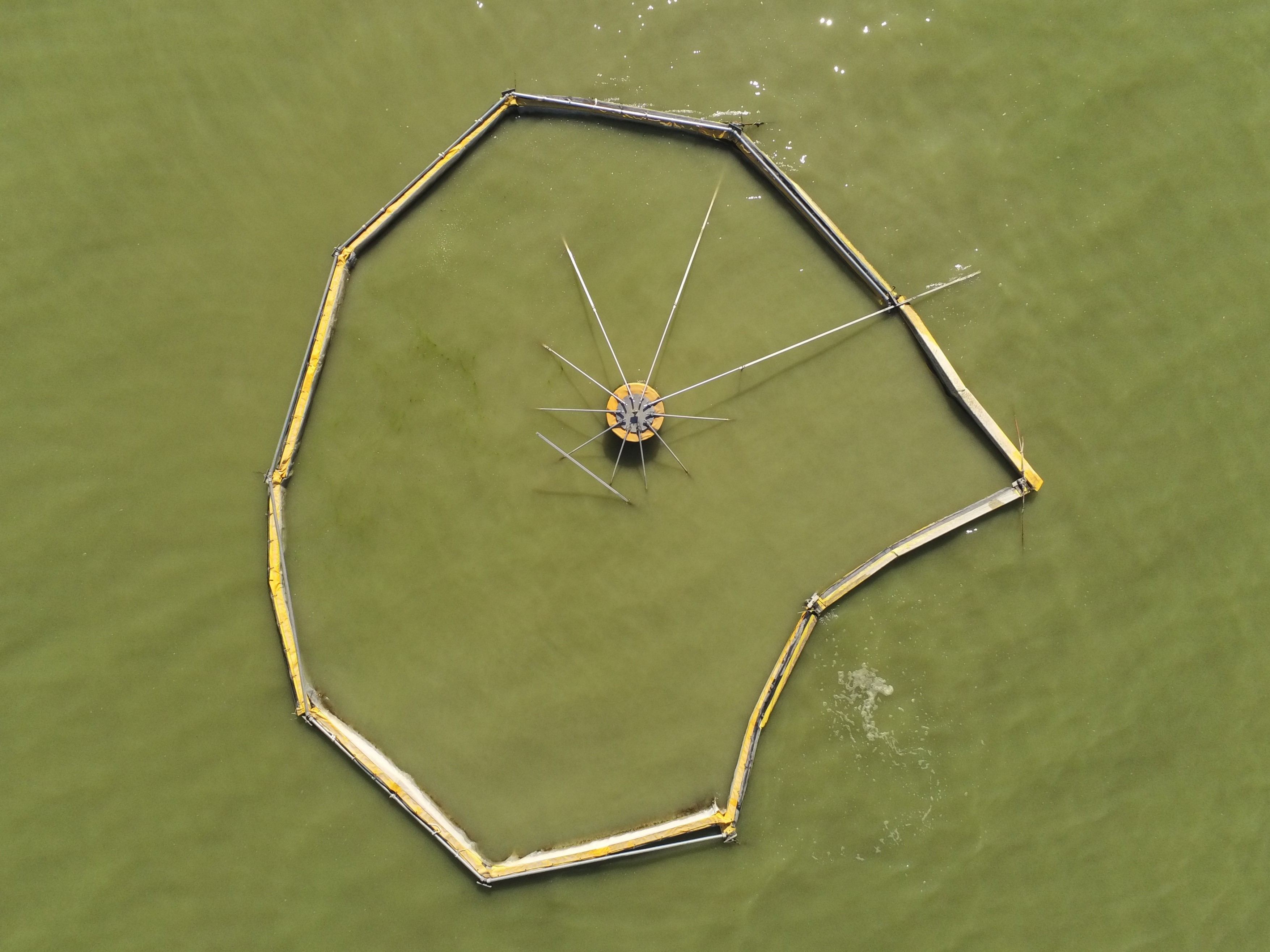
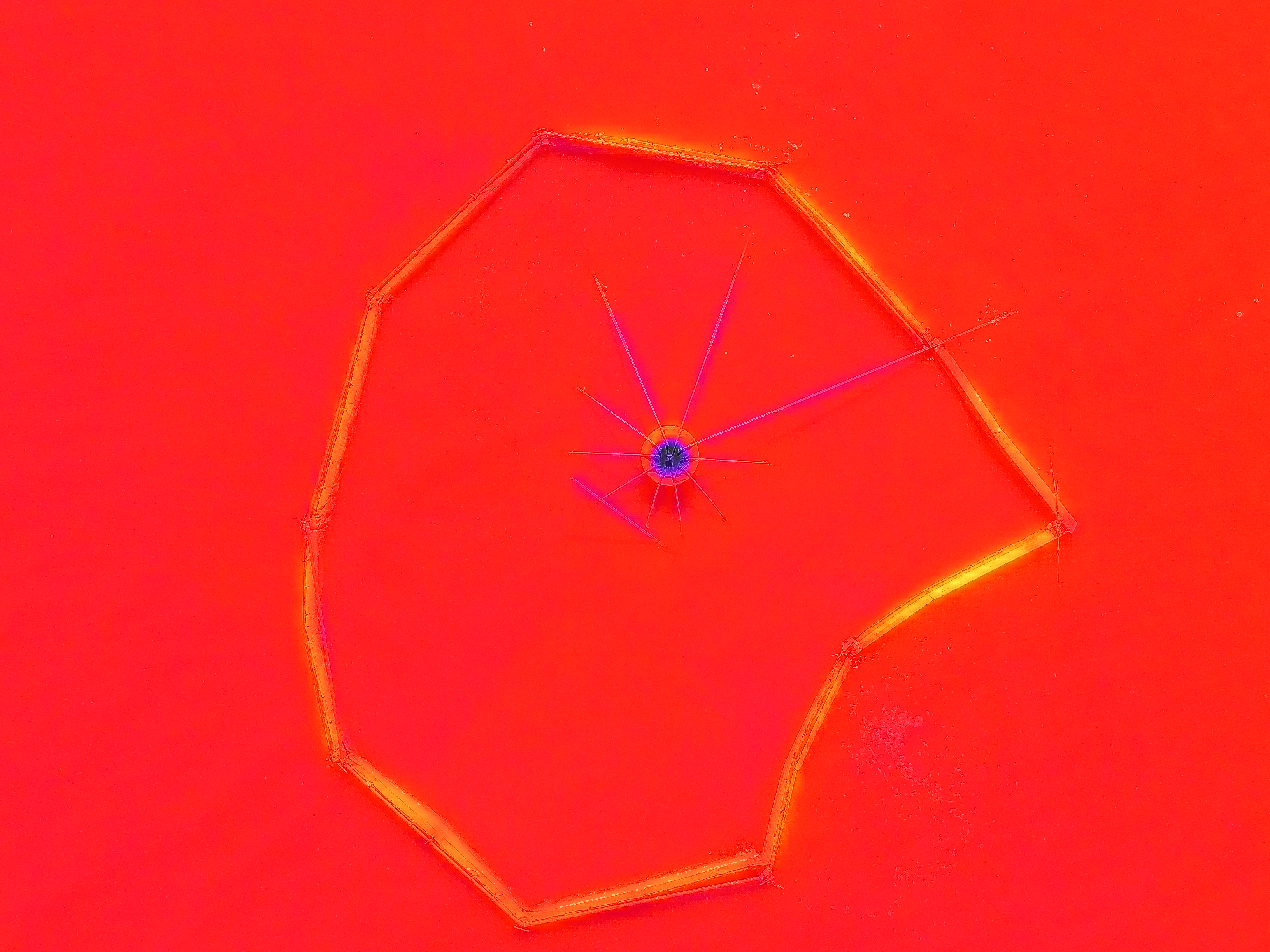
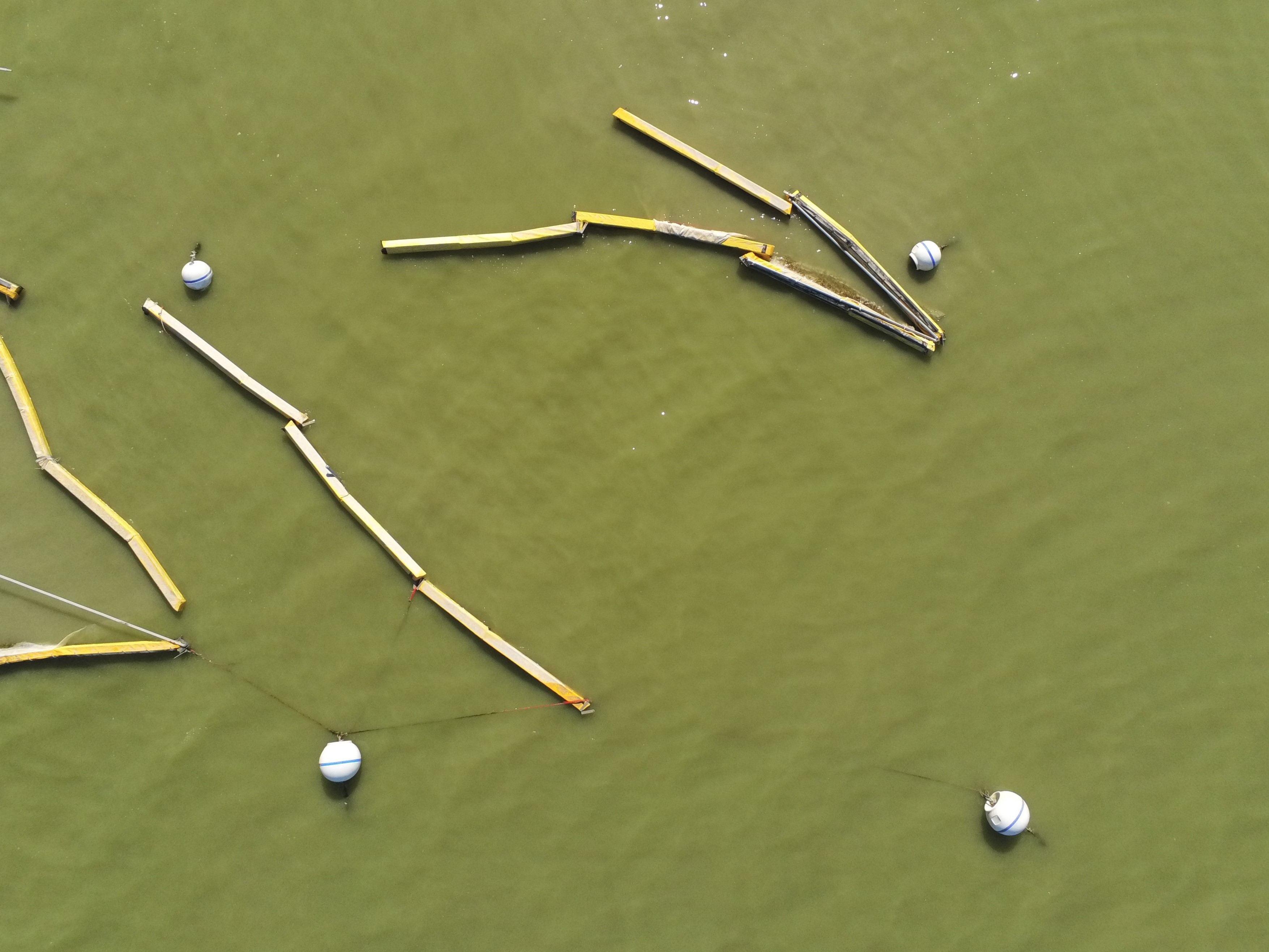
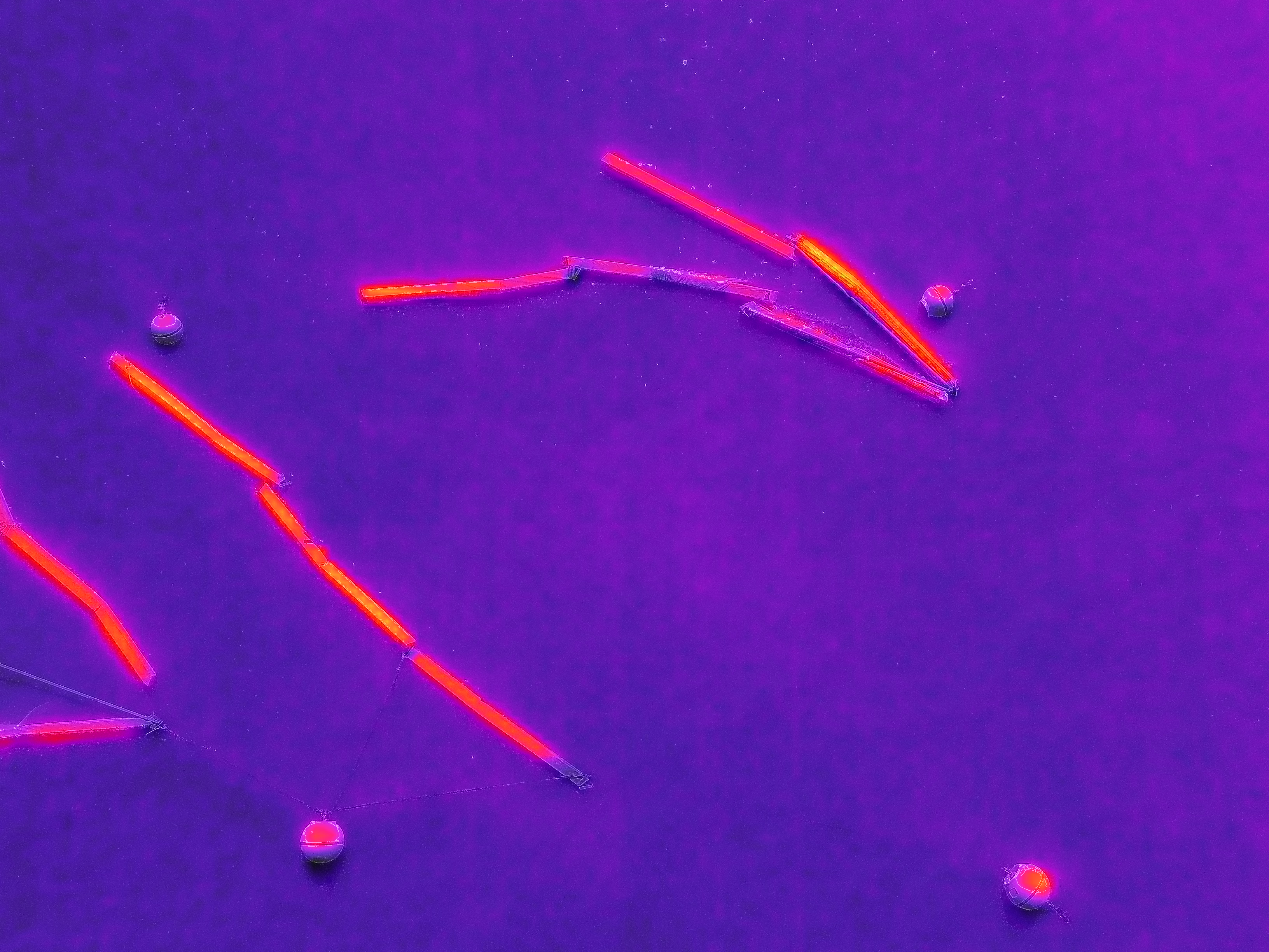
After some time using the drones and taking pictures from the air, we decided it would be beneficial to have a picture that included all of the corrals. To take a picture of everything, we would need to fly the drone higher than legally permitted. Instead, we created a gridded flight pattern for our drone. A gridded flight pattern is path flown by a drone while it takes pictures. The drone flew East to West starting from the Southern-most limnocorral and moving North after every East to West stretch. In this way, the drone took pictures of each section of the lake. These images were uploaded and stitched together through the drone gridded flight software. This created an orthomosaic, or one image of the entire area from a combination of all of the photos taken during the gridded flight.
Because of the height and positioning of the drone, the gridded flight images provided TSSD effluent location, wave patterns, and other information. Once we had created the flight patterns and practiced flying the drones, we flew gridded flight patterns every Friday, or on the same day that we did our data surface tracks (as described above).
Quality Control
One of the greatest priorities during sampling trips was to assure that we collected data correctly and had the means to prove that. We did so through two specific methods.
First, we took duplicate dip samples in order to check accuracy. Each duplicate sample was taken by filling two separate bottles each with lake water collected from the same spot, or same limnocorral. Those were then properly labeled with the date, corral number, corral quadrant, and "-dup" at the end of the duplicate sample to differentiate it from the original. We rotated which corrals we took duplicate samples from each sampling trip to ensure that we were finding accurate results for each corral. Early in the project, we tried collecting lake water samples using filtered syringes to speed up the sampling process. Through trial and error and further discussion, however, we decided to collect and store lakewater in bottles alone. Later on in our sample day, and after we had filtered the lake water in the lab, we would store that filtered water in syringes to run further tests and experiments.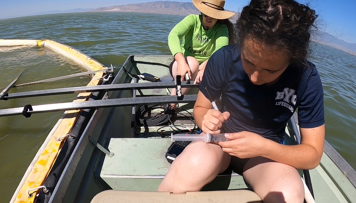
The second method we used was to take a bottle blank sample to assure that there was no corruption/contamination of our samples. A bottle blank sample is the same as the other dip samples except that it uses deionized water (DI water) instead of lake water. Rather than fill up the DI water sample in the lab, we would fill it up when we arrived at the lake with a bottle of DI water we brought with us from the lab. We did this to allow the DI water to be affected by the atmosphere in the same way that the lake samples were being affected by it.
We differentiated samples from each other by labeling the sample bottles with the date, the corral number, and the quadrant number (as explained previously). We then filled them with water from the limnocorrals, DI water from the bottle we brought from the lab, and lake water collected from the southwestern area of the corrals. In order to make sure the water samples did not heat up in the bottles, that they didn't leak, that other water did not seep into them, that we didn't drop them into the lake, etc. all dip water samples, duplicates, and bottle blank samples were stored in a cooler with an icepack. When we arrived at the lab, we ran the same tests on the duplicate sample and bottle blank sample as we did on the other corral/lake water samples. Our results for the bottle blank reported values of/around zero (as was expected) and our duplicate results were usually very similar to the corral/lake sample that was being duplicated, proving successful results. If ever these results were very skewed, we knew that there was likely an error in the way the experiment was conducted on the sample water, or that our data in general was not accurate and would most likely not yield helpful insights.