Sampling Schedule
Our summer sampling schedule included a variety of checklists explaining how to correctly sample and how to correctly store samples, drones, and all other data and equipment.
Sampling Trips General
In order to collect samples on a routine basis during the summer months of 2021, we created a sampling schedule. At the beginning of the summer, we tested sampling schedules that we had previously come up with. Over time, we developed a more routine schedule. When all corrals were in the water and functioning, we were able to perform the majority of our sampling trips and collect data. When fewer corrals were functioning in the water, we ran fewer trips but collected more samples and ran more data tests. You can follow our sampling schedule in the graph below.
2022 Sampling Schedule
.png)
2021 Sampling Schedule
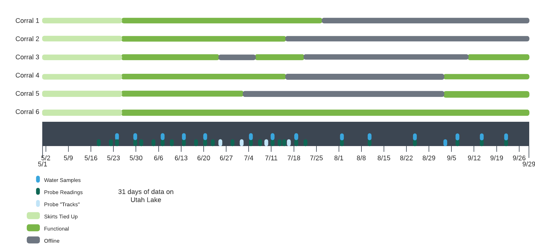
We followed several procedures to help us gather samples before we got to Utah Lake, while we were on the lake, and others when we were in the lab where we could perform other tests. We followed a specific routine to perform each procedure. To see our sampling schedule and certain procedures, please select the specific links below:
- Weekly Sampling Trip Schedule and Tasks
- YSI dSS Probe Calibration Procedures
- YSI dSS Probes Sampling Procedures
We followed a general list of guidelines for every sampling trip we went out on. This list included checklists for each of the activities below:
- Weather
- Battery charge
- Boat authorization spreadsheet
- Pontoon boat launch
- Gridded drone flight
- Probe samples and water samples
- Fill out research journal
- Export probe data to spreadsheet
- Upload all pictures to sharepoint
- Charge drone batteries as well as probe batteries (when necessary)
- Calibrate Probes
Pre-Lake Procedure
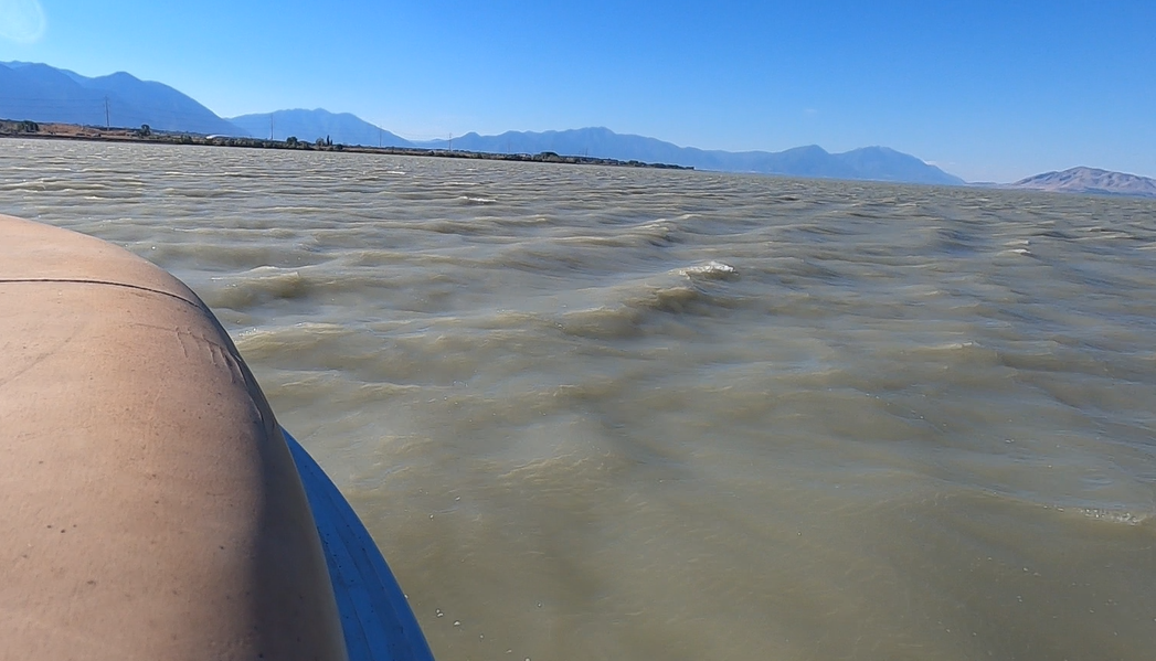
It was important to check the weather one week in advance to see what our plans might look like, then again the day before our trip--to ensure the forecast was still the same as or similar to what it had said the week before--and finally again the morning of. If wind speeds were greater than 10 miles an hour, we did not go out on the boat or fly the drones.
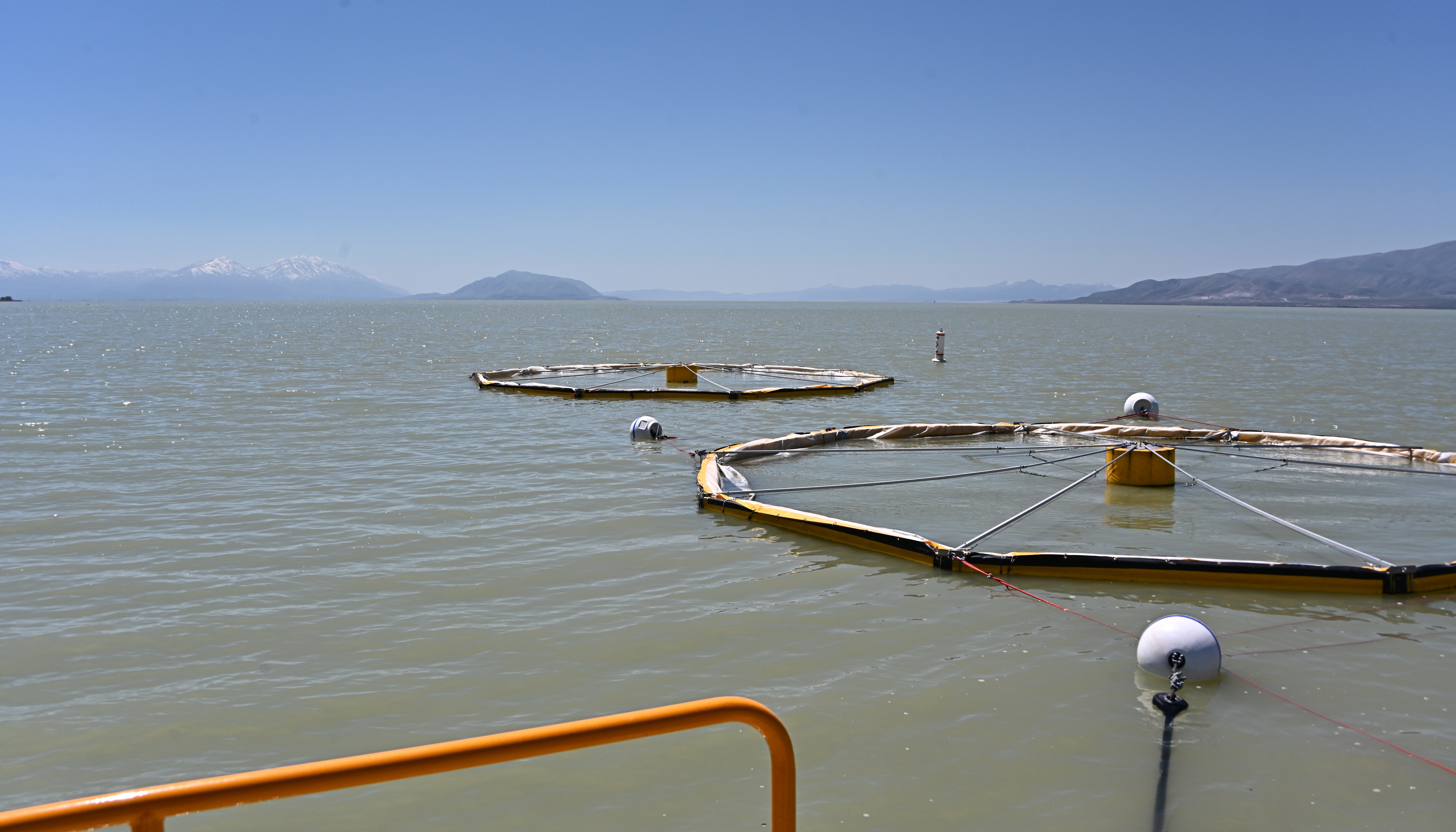
Before we left for Utah Lake, we had to make sure that the drones and YSI ProDDS equipment (probes) we used were sufficiently charged for us to be able to use them during the day.
If any of the items in the above checklist were not completed, it affected the current sampling trip or would affect future trips.
On the Lake
In order to use the pontoon boat each trip, the boat authorization spreadsheet had to be filled out. Then, the procedure to launch the pontoon boat had to be followed. We also had to be up to date on our knowledge of the marina our boat was parked in, as rules there changed from time to time.
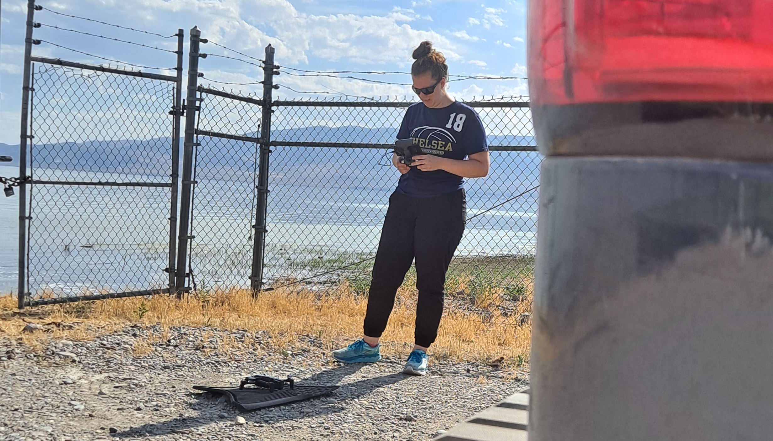
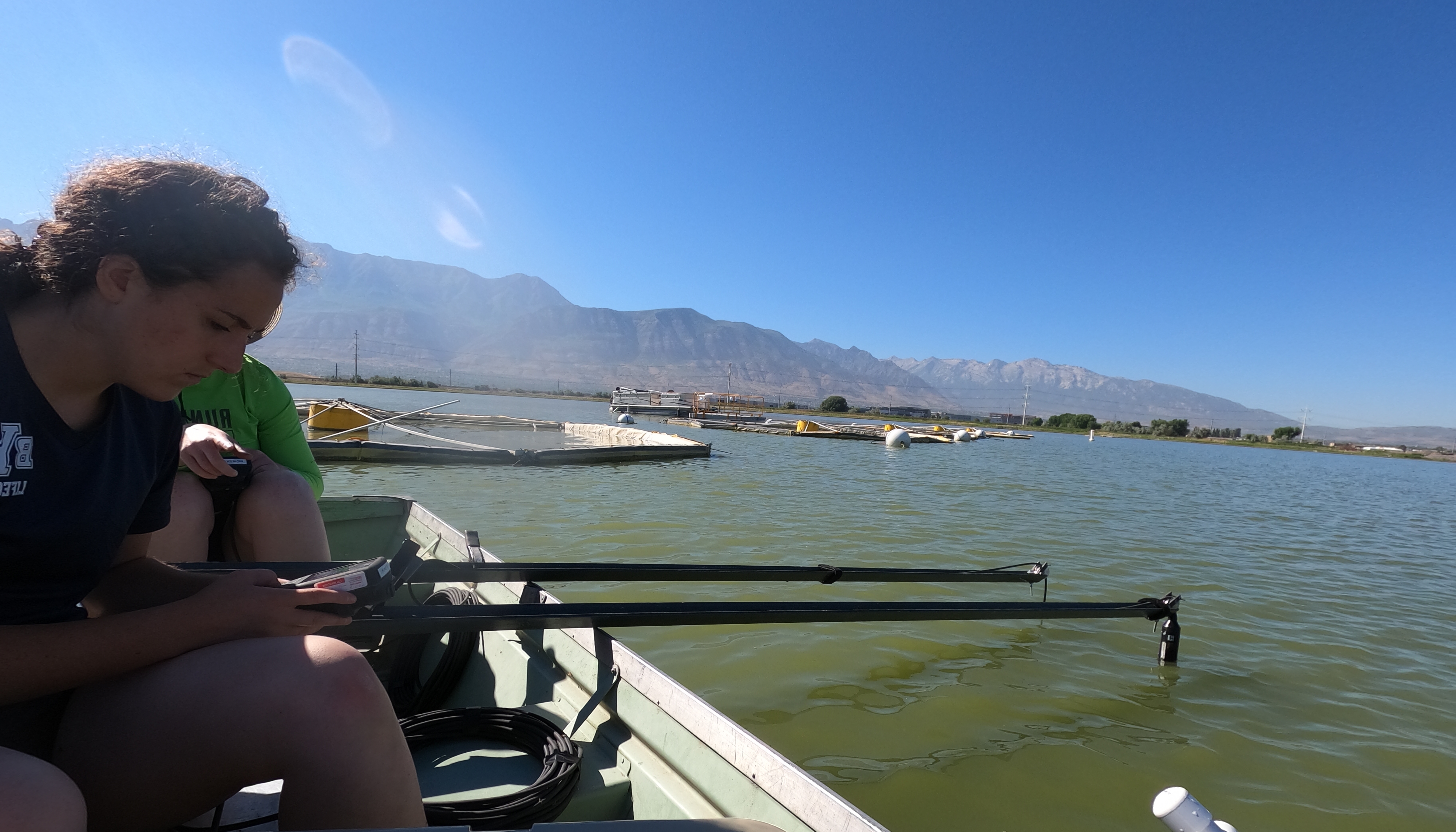
Once we made it out to the floating dock--next to the limnocorral lineup on the lake--we began taking samples. Gridded drone flights, probe samples, and water samples each had their own checklist of procedures to follow. We kept track of which sample types were taken and when and where they were taken in our research journal. The research journal is basically a summary of what we did, who did it, and how it was done.
.JPG)
After the Lake
Once we were back in the lab (either at BYU or TSSD), we exported the probe data onto a drive in sharepoint, which allowed access to all project employees. Additional data collected included pictures taken by the drones, GoPro, and our phones. These pictures were also uploaded to the sharepoint file and to google drive. Once the pictures and data were uploaded, batteries were removed from the drones and charged. Handheld devices from the probes were only charged if they were at 50% or less, as their batteries last longer.
Return to Data Collection Page
BYU Environmental Engineering Laboratory

Dept. of Civil and Environmental Engineering